Home / Kegiatan / dukung-tata-kelola-ekosistem-pesisir-frci-menyelenggarakan-pelatihan-google-earth-engine-di-ntb
Supporting Coastal Ecosystem Governance, FRCI Organizes Google Earth Engine Training in West Nusa Tenggara Province (NTB)
Ditulis oleh Admin | 04 February 2025
0 Comments
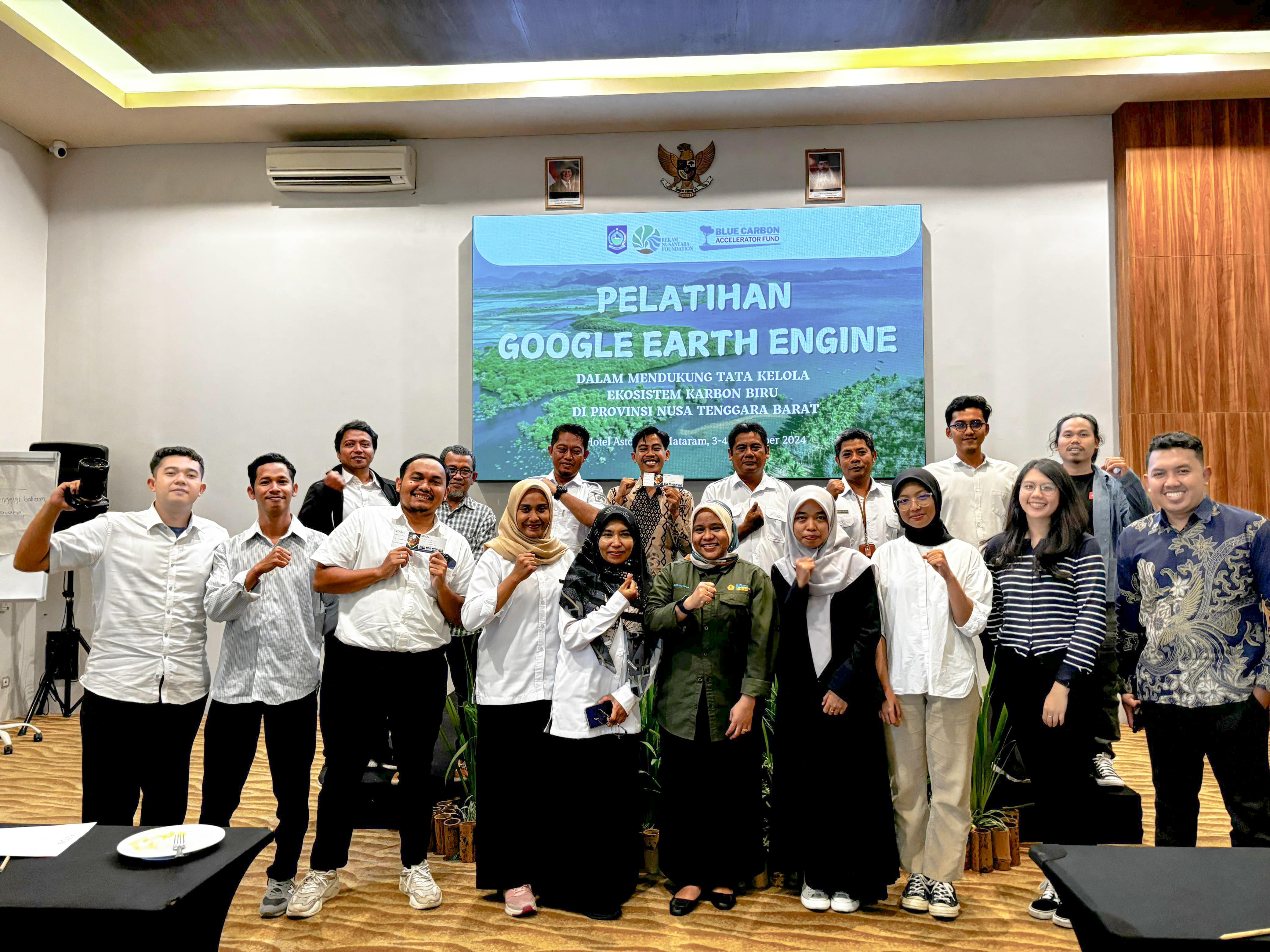
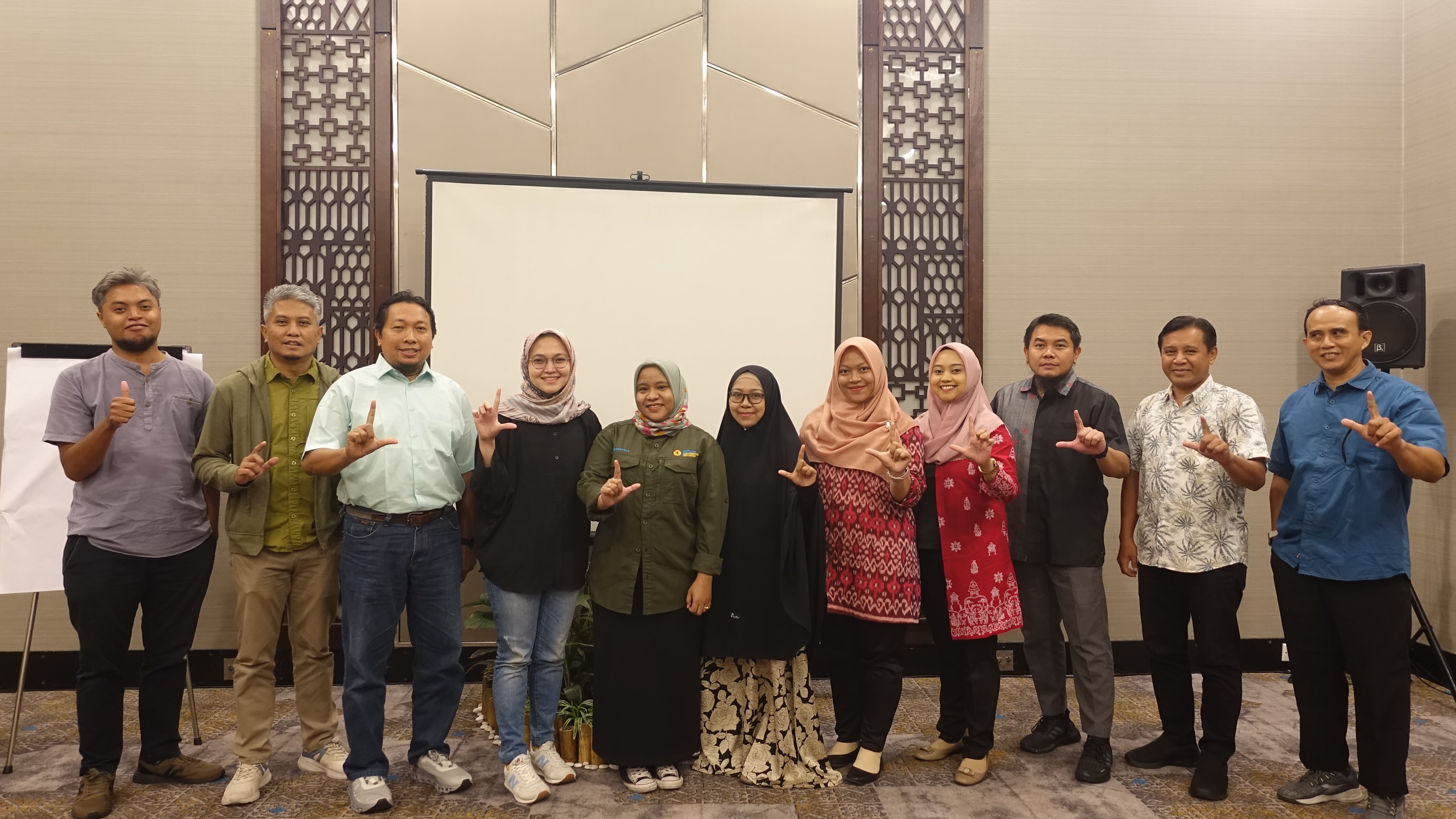
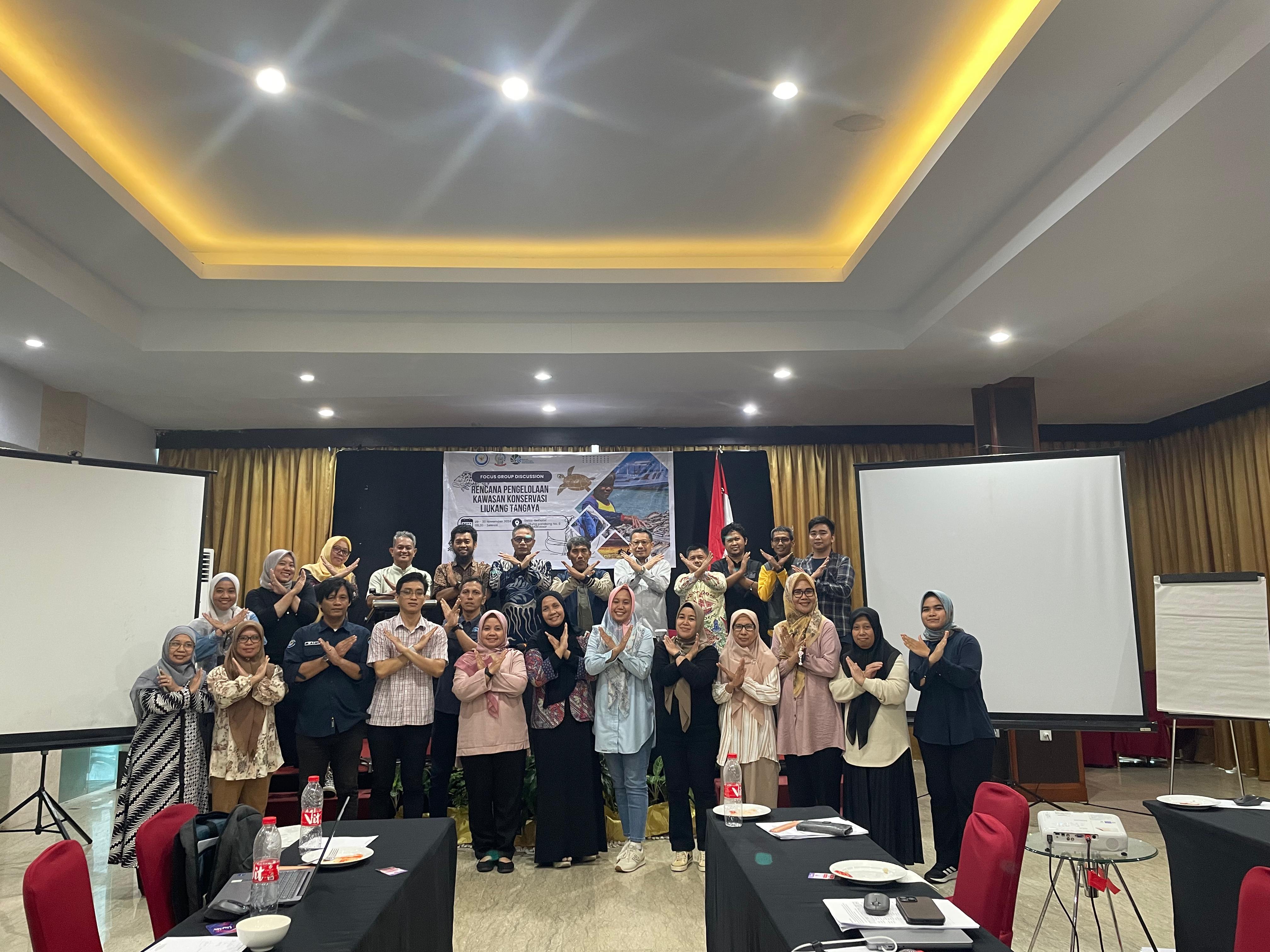
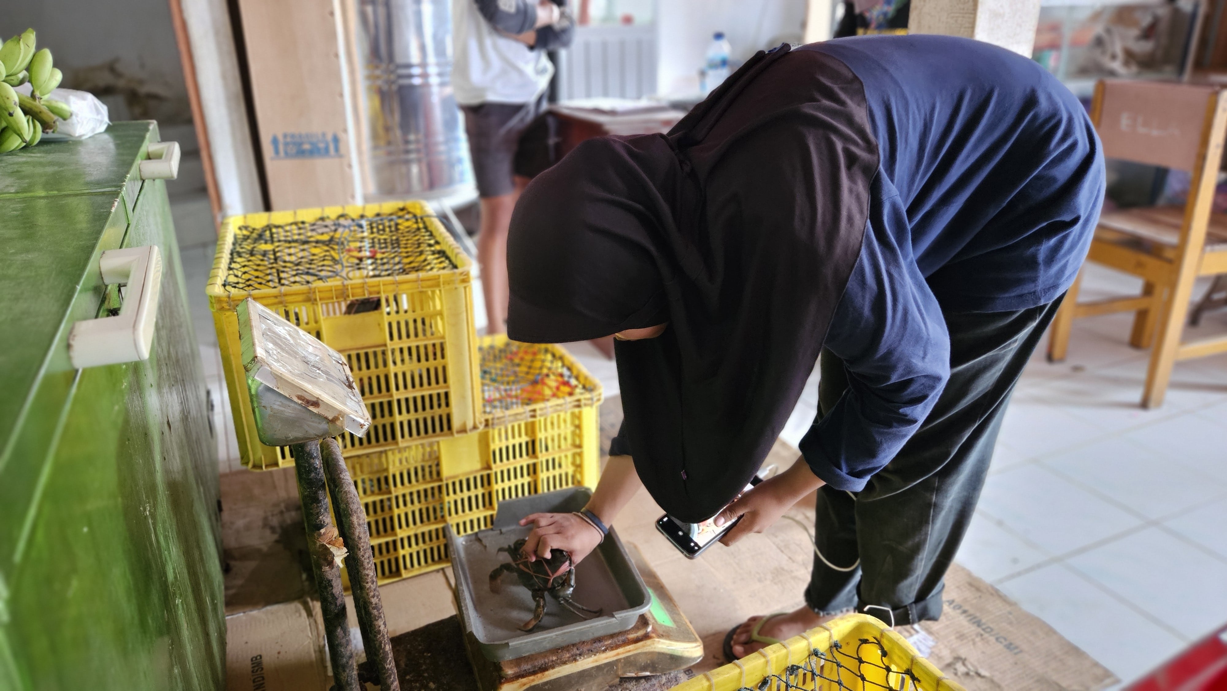
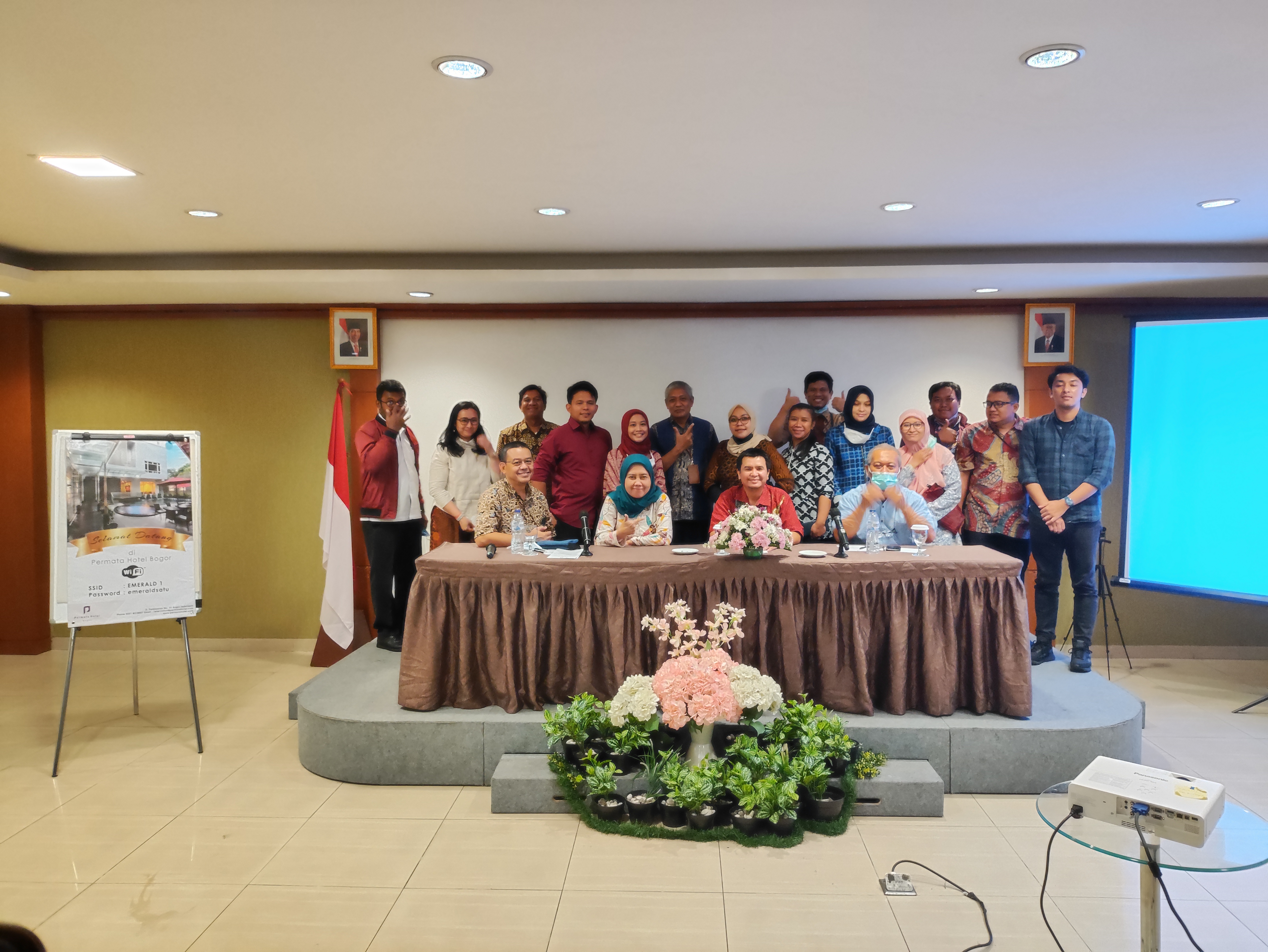
Mangrove and seagrass ecosystems in West Nusa Tenggara Province have a crucial role in maintaining environmental balance and supporting the economy of coastal communities. However, the utilization of these biological resources must be done sustainably so as not to damage the ecosystem. To support better management efforts, FRCI and REKAM Nusantara Foundation in collaboration with NTB Marine and Fisheries agency, Bentang Alam Nusantara Foundation, Wildlife Conservation Society (WCS), Sustainable Fisheries Management Scientific Forum (FIP2B) of NTB Province, and Mataram University Marine Science Study Program held Google Earth Engine (GEE) Training on December 3-4, 2024 at the Aston Inn Hotel, Mataram.
The training was attended by local governments and agencies related to marine and fisheries management in NTB and aimed to increase the capacity of human resources in analyzing spatial data and supporting data-based decision making in seagrass and mangrove habitat management. Google Earth Engine (GEE) as a cloud-based geospatial monitoring platform offers practical solutions to conduct real-time ecosystem monitoring and management.
The implementation team, from REKAM Nusantara Foundation represented by Marsha Hamidah, FIP2B of NTB Province represented by Jessica Pingkan, and Marine Science Study Program of Mataram University represented by Dr. Soraya Gigentika, S.Pi., M.Si., delivered an explanation of the GEE software, followed by data access and visualization, how to load and process satellite data, analysis of land cover changes, and detection of environmental changes in coastal ecosystems. Participants were also given advanced spatial data analysis knowledge using ArcGIS software.
Through this training, participants were able to use GEE to process and analyze satellite image data, as well as the skills to manage big data. These data were then used to map the distribution and change of mangrove and seagrass land cover, and identify areas that need special attention. Participants were also able to integrate the information obtained into the process of fisheries analysis, sustainable ocean management and scientific data-based decision-making.
Kegiatan Terbaru